Booking choice: The Laguna de los Tres guided trek, ★ 4.9 (7). Check dates Compare the options below
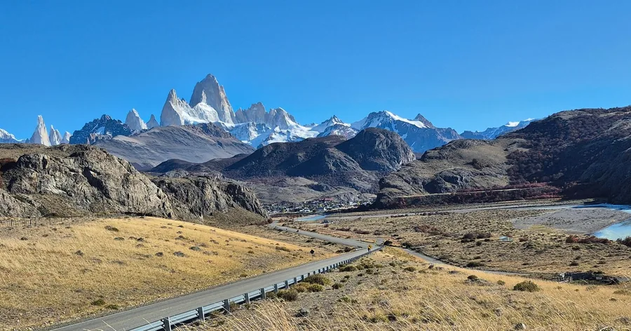
Fitz Roy has two lives. For climbers it is one of the great alpine summits, a granite spire where storms and wind decide most attempts. For hikers it is the peak at the end of Argentina's most famous day hike, seen across the lagoon at its foot. The two share a trail for the first hours out of El Chaltén, then part ways completely.
This guide explains what each involves: how hard and how long the summit climb is, who climbed it first, why the peak is famous and how high it is, and how a hiker reaches its base. The hike in detail is in the Laguna de los Tres guide, and how demanding it is in the difficulty guide.
The quick answer
Hiking: the trail from El Chaltén to Laguna de los Tres is about 20 to 25 km round trip, 8 to 9 hours, climbing about 750 m to the viewpoint at about 1,170 m, with no ropes or technical skills needed. Climbing: the summit is about 2,200 m higher, at 3,405 m, and reaching it is technical alpine rock and ice climbing. Guided climbs are sold as about 4 to 5 days, plus waiting for a weather window that can take weeks, and climbers must register with the national park. Lionel Terray and Guido Magnone made the first ascent on 2 February 1952.
Is Fitz Roy hard to climb?
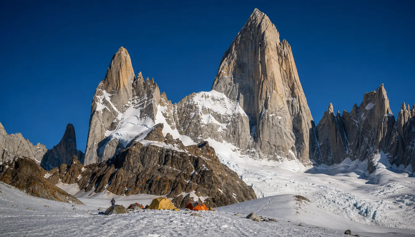
Yes. Reaching the summit is a serious technical alpine climb on steep granite and ice, for experienced climbers only, and very different from the hike to its base. The weather makes it harder still: long spells of wind and cloud often leave only short windows for an attempt.
The standard route, the Franco-Argentine, climbs about 600 m of steep rock above the glacier, in many rope lengths, after a long approach across glaciers. It asks for confident rock climbing at a high grade, ice and glacier skills, rope work and the ability to move fast and retreat safely if the weather turns. Fitz Roy's reputation among climbers comes from that mix of hard climbing and fierce Patagonian weather.
None of this applies to the hike. The trail to Laguna de los Tres is a footpath, and the steep last section is a climb on foot on rocky, loose ground, with no ropes, no glacier and no technical skills needed.
| Goal | What it is | Time | Skills |
|---|---|---|---|
| Laguna Capri | A hike to a forest lake with a Fitz Roy view, about 4 km from town | About 3.5 to 4 hours round trip | Steady walking |
| Laguna de los Tres | A hike to the base viewpoint at about 1,170 m | 8 to 9 hours round trip | Good fitness; a steep, rocky last hour |
| Sunrise night trek | A guided night walk to the lagoon for the first light on Fitz Roy | Overnight | Very good fitness and trekking experience |
| Fitz Roy summit, 3,405 m | Technical alpine climbing on rock and ice | About 4 to 5 days guided, plus waiting for weather | Expert rock, ice and glacier climbing |
How long does it take to climb Fitz Roy?
Guided climbs are sold as about 4 to 5 days, plus waiting for a weather window. Climbers often allow several weeks in El Chaltén to be sure of one good spell.
A typical attempt means walking in from El Chaltén with heavy packs, crossing glaciers to a high camp below the walls, a long summit push and the descent, all inside a window of calm weather. The waiting is the hardest part to plan: storms can keep teams in town for days or weeks, and many attempts end without the summit. Guiding outfits sell the climb as a set number of climbing days with flexible dates around them.
For hikers, time is much simpler: Laguna de los Tres takes most people 8 to 9 hours for the round trip, plus time for photos at the lagoon. You still benefit from flexibility, since Fitz Roy is often wrapped in cloud, so keep two or three spare days, as explained in the best time to hike Fitz Roy.
Can a hiker get to the base of Fitz Roy?
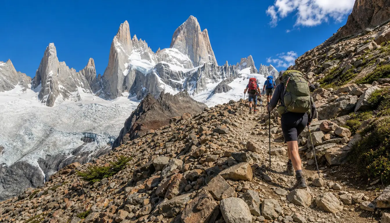
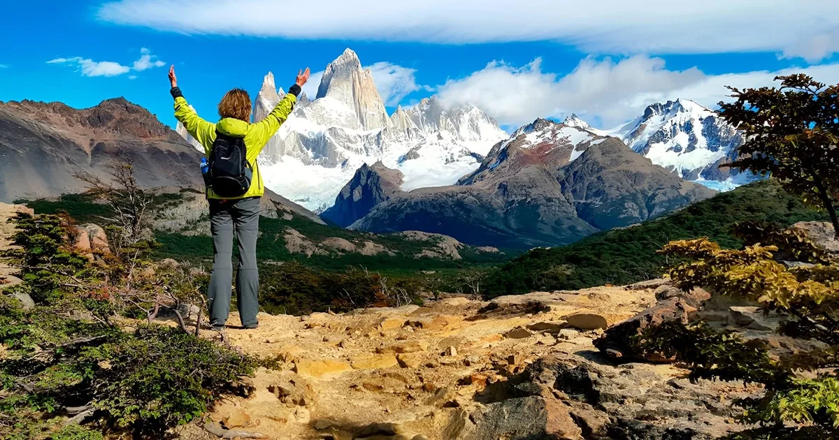
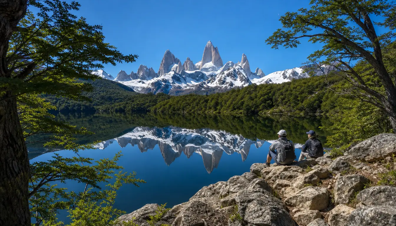
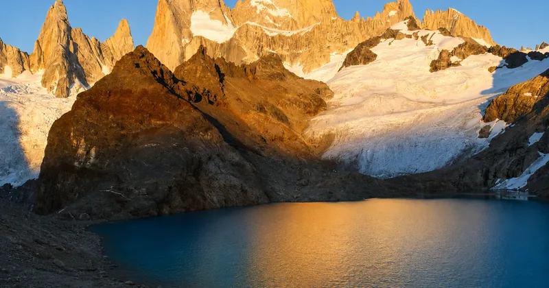
Yes. The trail from El Chaltén to Laguna de los Tres ends at the glacial lake at the foot of the Fitz Roy walls, at about 1,170 m: the closest trail view of the peak, in one long day on foot.
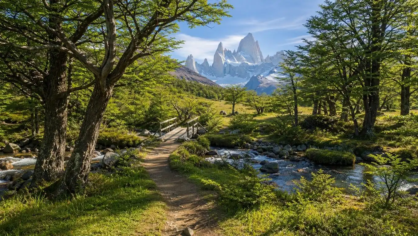
The hike to Laguna de los Tres starts at the northern end of El Chaltén and is about 20 to 25 km round trip. It climbs gently through forest past Laguna Capri and Poincenot, crosses the Río Blanco and then takes the steep last hour: a rocky climb of about 400 m in roughly 1 km, where poles and sturdy boots help. It is safe with good preparation, and you can hike it on your own; no guide is required. Los Glaciares National Park charges an access ticket for the El Chaltén trails in the main season; buy it online from Parques Nacionales ticket site before you set out.
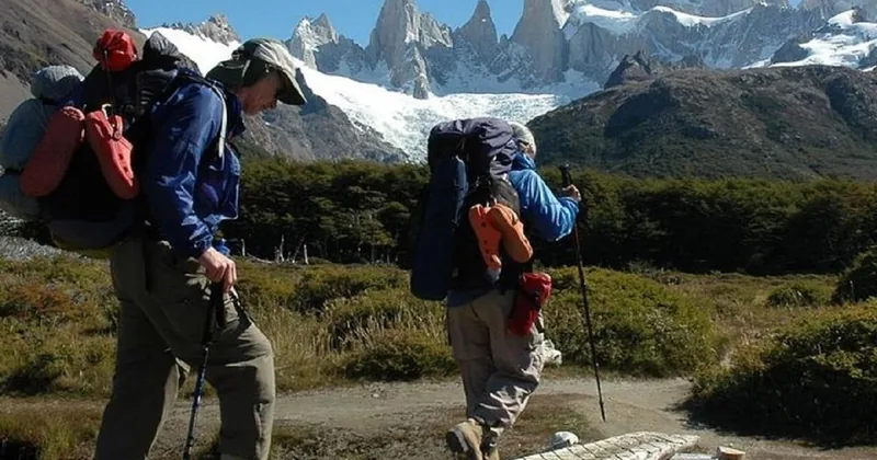
If you would like a guide on the steep section, the Laguna de los Tres guided trek runs from El Calafate on odd-numbered dates, with two guides who split the group by pace, crampons when needed and lunch; it is non-refundable. The trek via Río Eléctrico starts from the trailhead north of town and walks via the Piedras Blancas glacier viewpoint, a 16-hour day with a certified mountain guide, refundable in full up to 24 hours ahead.
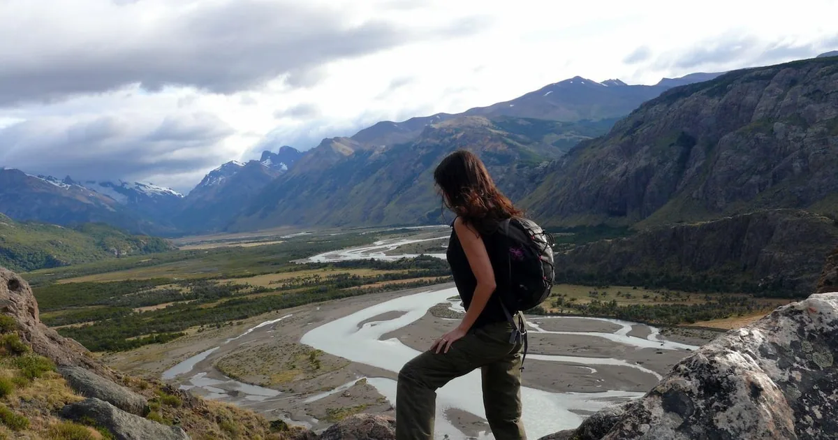
The full Laguna de los Tres trek from the Río Eléctrico trailhead with a certified mountain guide and transport from El Calafate, about 24 km on foot.
Check dates for the Laguna de los Tres trek via Río EléctricoWhy is Fitz Roy famous?
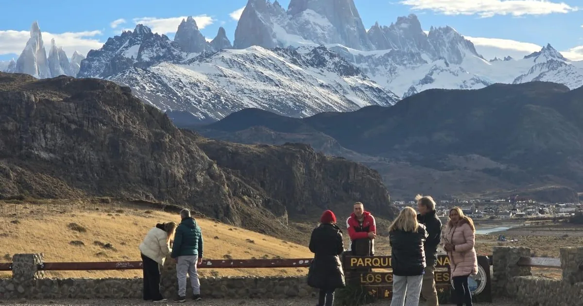
For its sheer granite spire, its reputation among climbers as one of the world's hardest big peaks, and its place as the emblem of Santa Cruz province. Its skyline also inspired the logo of the Patagonia outdoor brand.
The Tehuelche called it Chaltén, the smoking mountain, because of the cloud that so often trails from its summit. Perito Moreno named the peak on 2 March 1877 after Robert FitzRoy, captain of HMS Beagle, whose voyages surveyed the coasts of Patagonia. Today the mountain appears on Santa Cruz province's flag and coat of arms.
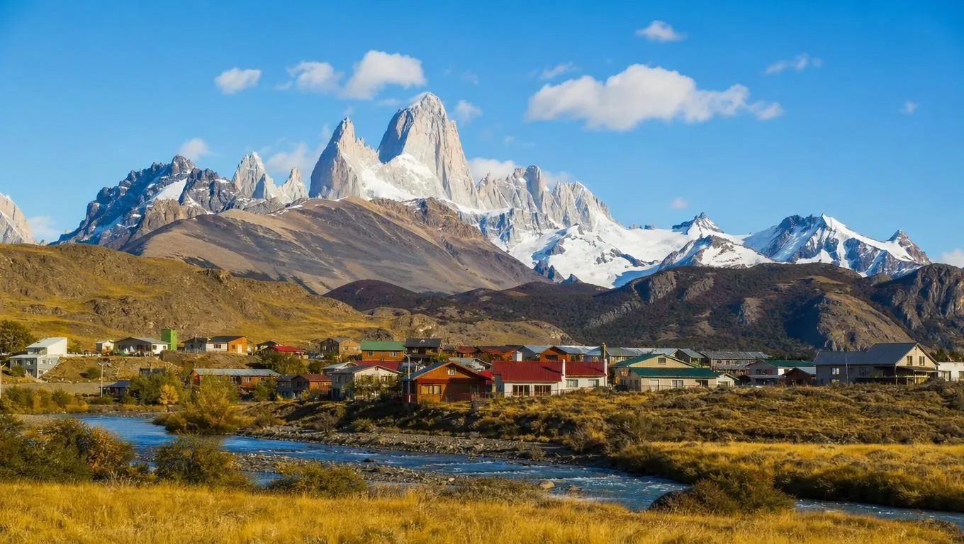
Its fame outside Argentina grew with the climbers. Yvon Chouinard, who later founded Patagonia, climbed it in 1968, and the company's logo is widely described as the Fitz Roy skyline. The town below, El Chaltén, founded in 1985, is now Argentina's National Trekking Capital, and most of its visitors come to hike, not to climb.
Who first climbed Fitz Roy?
Lionel Terray and Guido Magnone, members of a French expedition, reached the summit on 2 February 1952 by the southeast ridge. It was one of the great alpine achievements of its time.
After them, Fitz Roy became a goal for the world's best alpinists, and it remains one of the most respected summits in climbing. The climbers' approach uses the same trail as hikers as far as Poincenot and the Río Blanco, where a camp is reserved for climbers; beyond the lagoon, the climbing routes head onto the glaciers.
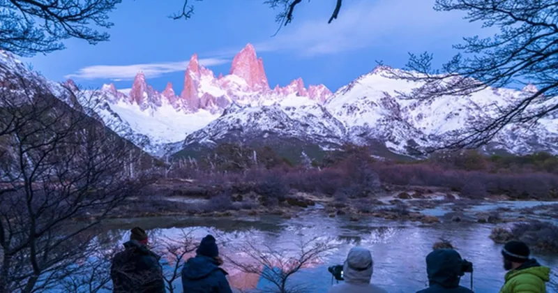
For hikers, the lagoon is the end of the trail. There is no campsite at Laguna de los Tres, and the marked path does not continue. The Fitz Roy sunrise night trek is the closest a walker gets to a climber's pre-dawn start: a guided night walk to the lagoon for the first light on the walls, from December to February, for ages 18 to 50, non-refundable once booked.
A guided night walk to Laguna de los Tres to watch the sunrise light up Fitz Roy, with a helmet, headlamp, poles and a hot drink at the lagoon.
Check dates for the Fitz Roy sunrise night trekHow high is Fitz Roy?
3,405 m, the figure printed by Argentina's national parks; some sources give a slightly lower figure. The hike ends at about 1,170 m, so the summit is about 2,200 m above the lagoon.
Monte Fitz Roy rises to 3,405 m on the border between Argentina and Chile, between Los Glaciares National Park and Chile's Bernardo O'Higgins National Park. Its neighbours include Poincenot, 3,002 m, and Cerro Torre, 3,102 m, across the valley. El Chaltén sits at about 400 m, so the walls you see from town rise around 3,000 m above you.
The highest point of the hike is around 1,170 m, so altitude is not a concern for walkers. For climbers the altitude is modest by world standards too; the difficulty is the steep rock, the ice and the weather.
Do climbers need to register at Fitz Roy?
Yes. All climbing in Los Glaciares National Park requires registration with the national park, at the visitor centre at the entrance to El Chaltén or online, and so does trekking in remote, unmarked areas.
Registration lets the rangers know who is on the mountain and where. Hikers on the marked trails to Laguna de los Tres, Laguna Capri and Laguna Torre do not register as climbers, but they still need the park access ticket in the main season, and anyone staying overnight needs a reservation at Poincenot, Laguna Capri or De Agostini through the campsite booking page. Stay on the marked trails, and from the lagoon admire Laguna Sucia only from the rim.
Stop by the national park visitor centre at the entrance to town for the day's trail and weather update, whichever you are doing. Current rules are on the park website.
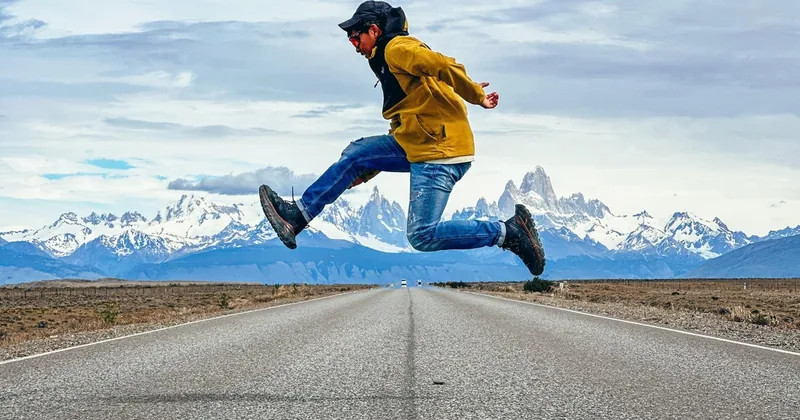
A fit hiker with only one day? The private car from El Calafate gives up to 6 people about 8 hours in El Chaltén to walk the trail of your choice; one reviewer hiked to Laguna de los Tres while the driver waited. Rated 4.4 from 13 reviews.
Explore the private car to El ChalténIs the hike to Laguna de los Tres a climb?
Only in the sense of hard work uphill. It is a hike on a marked footpath, with a steep climb on foot in the last hour; you need fitness, boots and poles, not ropes or climbing skills.
The trail climbs about 750 m from town to the viewpoint, closer to 900 m of total ascent with the small descents along the way. Most of it is a moderate walk through lenga forest and meadows. The steep last section is loose and rocky, and the descent asks for the most care: go slowly, use poles, and wear crampons if there is snow or ice. From May to September the trails become winter terrain, and the park asks hikers to carry crampons and poles.
- Start early and plan to be back in town before dark.
- Turn back at Poincenot if wind or cloud builds.
- No mobile signal on the trails; in an emergency in Santa Cruz province, dial 911.
If the full hike feels too much, the difficulty guide covers Laguna Capri and the shorter walks.
Frequently asked questions
Can you hike to the top of Fitz Roy?
No. The summit is reached only by technical alpine climbing. The hike ends at Laguna de los Tres, at about 1,170 m, at the foot of the granite walls.
Do you need a guide to hike to Fitz Roy?
No guide is required for the hike to Laguna de los Tres. Guided treks suit people coming from El Calafate for one day or who want support on the steep last section.
Can you camp at Laguna de los Tres?
No. There is no campsite at the lagoon. The nearest organised campsites are Poincenot and Laguna Capri, and each needs a reservation in advance.
What does Chaltén mean?
It is the Tehuelche name for the mountain, usually translated as the smoking mountain, after the cloud that often forms around its summit.
Ready to book
Choose your day
Check your date and the live price on GetYourGuide; the refund terms are shown on each option.
Laguna de los Tres Guided Trek
- Return transfer from El Calafate to El Chaltén
- A certified bilingual guide (English and Spanish)
- Packed lunch, insurance and one trekking pole each
Fitz Roy Sunrise Night Trek
A night walk to Laguna de los Tres for the sunrise on Fitz Roy, December to February, ages 18 to 50
Laguna de los Tres via Río Eléctrico
The full trek from the Río Eléctrico trailhead with a mountain guide, about 24 km, a long day from El Calafate